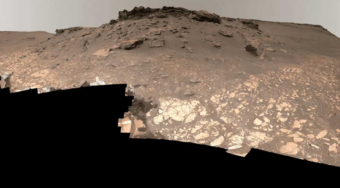
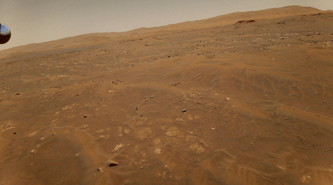
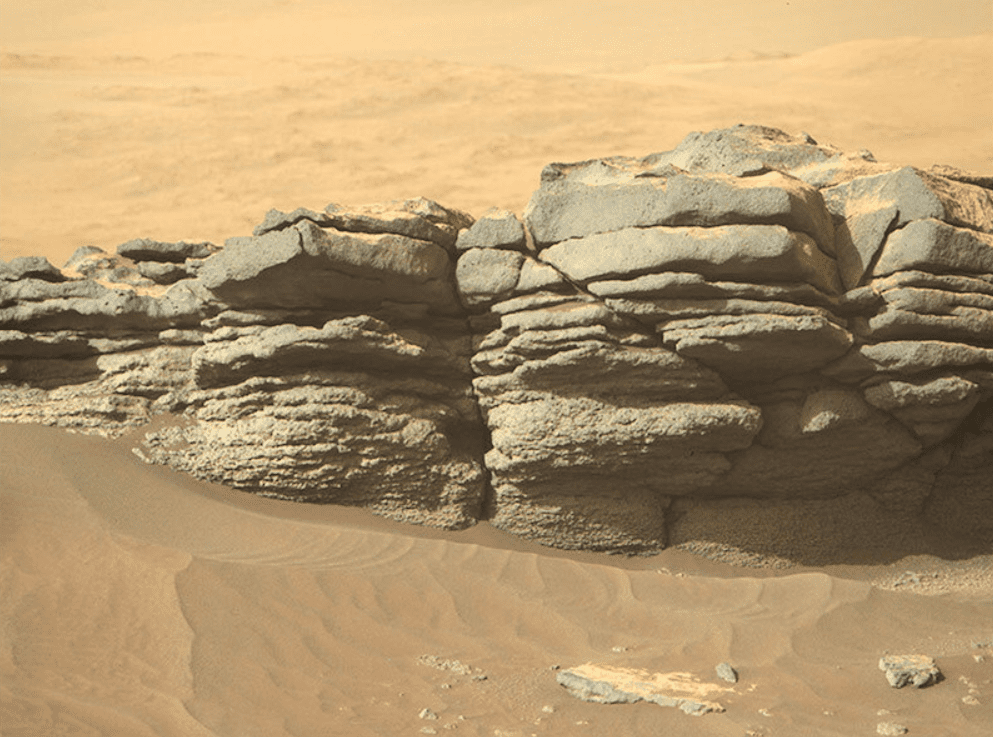
NASA’s rover provides the most comprehensive image of Mars’ surface we’ve ever seen! Perseverance succeeded in scanning a great 2.5 billion pixels of Martian ground, and now more data is available.
Read the full report below and explore Mars in all its glory!
New Mars Data Reveals Details About Watery Past
NASA’s Perseverance rover is genuinely the best! It scanned 2.5 billion pixels of rocks, sky, and sand in such great detail that scientists were left in awe.
Now, the American space agency released the most precise image of the Martian surface yet obtained on September 14. Take a look below:

It’s truly magnificent.
Because of its watery history, the Martian delta is an exciting area for exploration. And there’s more.
NASA expects that Perseverance will aid in determining if our planetary neighbor previously supported microbial life. So, the rover is gathering samples at the delta that NASA plans to return to Earth for analysis.
What’s more intriguing is that the pixel count of the photo surpasses a previous 1.8 billion-pixel panoramic of the Gale Crater taken by the Curiosity rover in 2020. Such a fantastic achievement!

FACT: the new picture is actually made up of 1,118 individual views captured by the Mastcam-Z, a camera system positioned on the rover’s ‘head.’
More intriguing details
If you’re into cool science stuff, you will love this. NASA’s color-processed, full-res image is 3.85GB in size. So, you can actually zoom in as much as you want to explore each bit of the Martian ground. How great is that?!
Also, the video you watched above comes ahead of the space agency’s next briefing, including highlights from Preseverance’s first year and a half on Mars. So, we should get ready for more insightful details!
So far, Perseverance has been investigating the challenging Jezero Crater, a 50 km wide impact crater, since it arrived on Mars in February 2021. The mission aims to hunt for evidence that Mars formerly had (possibly still) some regions capable of supporting life as we know it.


Leave a Reply