A little over a century ago, we were still taking measurements of the earth. We had to physically go to our Greenwich Observatory and measure from there. Then we used maps to do the same thing. And then the GPS came along, and we could just check our phones.
Well, now technology is helping us discover so much more about our universe, it’s only natural that we’re going to need new ways to measure things—and new places where we can make those measurements. Like… Mars!
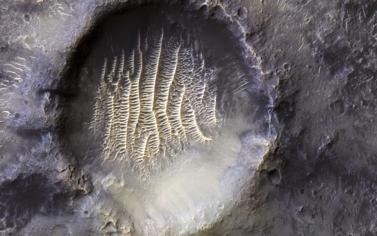
NASA just released this shot on Instagram this last week, even though it has been around for a while. Some speculated it was an extraterrestrial imprint after the picture became viral.

(Credit: NASA/JPL-Caltech/UArizona)
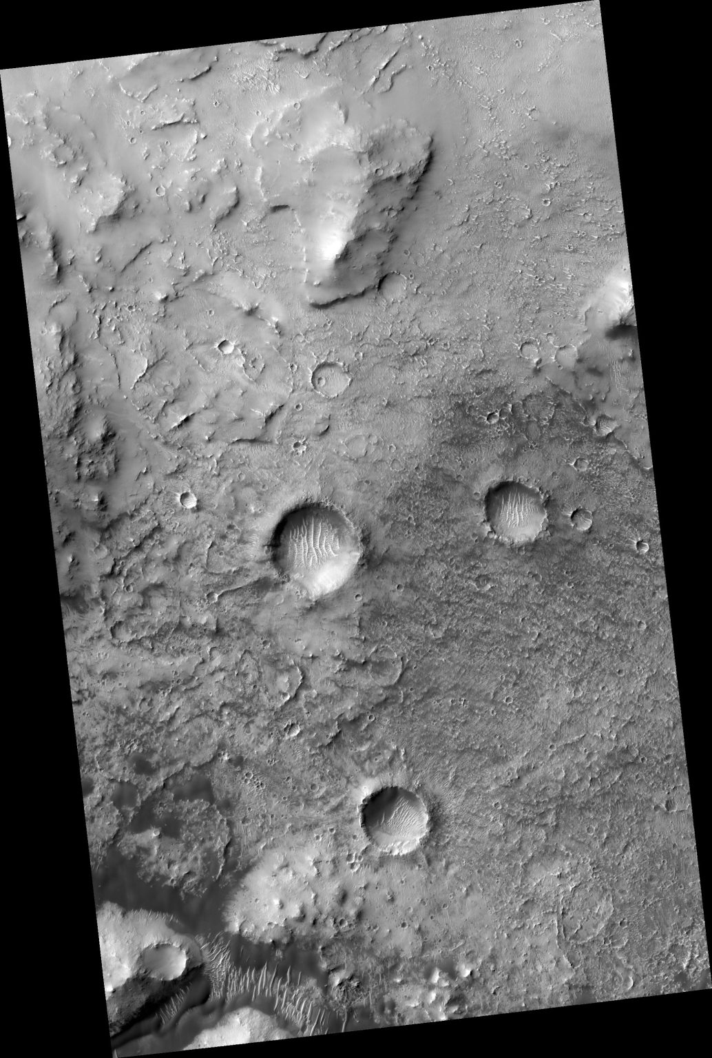
0° longitude on Mars is the analogue of Greenwich Observatory just on earth. As an astronomical starting point, the Greenwich Observatory identifies Earth’s Prime Meridian, a north-south arc that establishes the boundary between east & west and is utilised as the zero point for all measurements. The Airy Crater, a bigger crater inside this crater, was initially used to determine Mars’ zero longitude, but better images allowed for the identification of a smaller structure. Airy-0 (zero) was chosen as the crater since it did not require any changes to current charts.

(Credit: NASA/JPL-Caltech/UArizona)
Radio monitoring of rovers like InSight allows for even more exact measurements of Martian longitude, but the zero-longitude reference point is still stated to be in the vicinity of Endeavour Crater. The HiRISE camera aboard the Mars Reconnaissance Orbiter obtained this stunning picture of the surface of Mars. There are 50 cm (19.7 in) of space between each pixel on this picture.
In the end, we can look forward to better photos in the future, but for now this amazing photo satisfies our curiosity about zero longitude on Mars.


Leave a Reply